
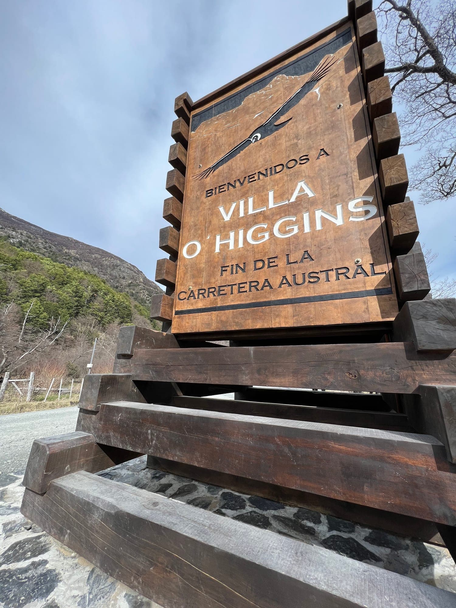
By car, from Coyhaique.
It's about 571 km on Route 7 and around 14 hours of driving. You can do it in one go, but it isn't worth it: better to split it over two days, stopping in Cochrane or Caleta Tortel.
| Stretch | Distance | Time |
|---|---|---|
| Coyhaique – Cochrane | 340 km | 6 h |
| Cochrane – Puerto Yungay | 130 km | 3 h |
| Puerto Yungay – Río Bravo | Mitchell Fjord | 45 min |
| Río Bravo – Villa O'Higgins | 90 km | 2 h |
There is fuel in Coyhaique, Cerro Castillo, Puerto Tranquilo, Cochrane, Tortel and Villa O'Higgins.
From Cochrane it's about 230 km, and those are the last ones: after Villa O'Higgins, the Carretera Austral comes to an end.
The Mitchell Fjord crossing.
Between Puerto Yungay and Río Bravo the road stops and you carry on by ferry barge. It's free, there are no reservations and boarding is first come, first served. The crossing takes 35 to 45 minutes.
It's run by Naviera Transal with two ferry barges, the Padre Antonio Ronchi and the Pitipulla. January and February are high season; October, November, December and March, mid season; April to September, low season.
The schedule changes several times a year.
This winter there was a snow adjustment, and the Laitec barge replaced the Padre Ronchi. That's why we don't publish the timetable here: we'd rather you check the current one on the operator's own source, for the day you travel.
See the current schedule on Ferry PatagoniaIf you're cutting it close with the last crossing of the day, get there early: when there's a line, the barge fills up and you have to wait for the next one.
By bus.
There's no direct bus from Coyhaique. You connect Coyhaique – Cochrane – Villa O'Higgins, or go via Tortel.
Buses Gardy covers the final stretch, from the municipal bus terminal in Cochrane. They don't sell tickets through an app: you have to call to book. If you're traveling with a bike, ask at the terminal office, because space is limited.
Departure days change with the season, and the sources don't agree with each other. Message us with your dates and we'll tell you what's currently running.
By ferry, from Puerto Natales.
TABSA links Puerto Natales, in Magallanes, with Puerto Yungay, where you join the Carretera Austral. It's the Crux Australis ferry: about 41 hours sailing through channels, fjords and glaciers.
Along the way it calls at Puerto Edén and Caleta Tortel. From Puerto Yungay you continue overland: the Mitchell Fjord crossing and the last stretch to Villa O'Higgins.
Sailings and fares are published by TABSA.
The schedule changes through the year, and weather can shift a sailing. Check the current schedule, fares and crossing status on their site before planning your trip.
Puerto Natales – Puerto Yungay route · Crossing status · TABSA website
It's the way to get from Magallanes to Aysén without leaving Chile, and to reach the Carretera Austral from the south.
From Argentina, over the Dos Lagunas pass.
From El Chaltén you cross the border on foot, by bike or on horseback. The pass is open from November to April and takes at least two days.
- Villa O'Higgins – Puerto Bahamondes, 7 km.
- Boat across Lake O'Higgins to Candelario Mancilla, where the Chilean border post is.
- Candelario Mancilla – north shore (Punta Norte) of Lago del Desierto, about 21 km: 16 km of gravel road on the Chilean side and 5 km of forest trail on the Argentine side.
- Punta Norte – Punta Sur, 12 km on foot or by boat.
- Transfer to El Chaltén.
Photos and drones are not allowed at the border crossing.
You can do it in either direction. We run this crossing together with Ruedas de la Patagonia: the boat, the beds, the luggage porterage and the bikes, linked into a single trip.
See the crossing, stretch by stretch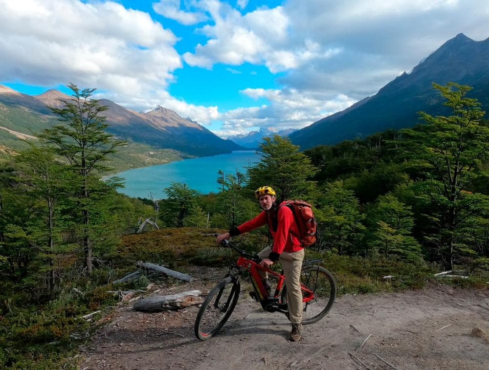
What we do here.
- The crossing to El ChalténSeven stretches, two lakes and a border, in one or two days.See the crossing
- E-bikesRentals and tours to ride the end of the Carretera Austral.Ride
- Micro-refugesSleep inside the landscape, alongside families who live on the road.Stay
- Tailor-made tripsFor groups, families and special requests.Explore
More about Villa O'Higgins.
We'll keep adding what we know about the place here, written by those of us who travel it every season.
- Getting hereCar, bus, ferry and the pass from Argentina.You're reading it
- When to comeThe seasons, the wind, the light and what to expect each month.in progress
- What to do in Villa O'HigginsViewpoints, trails, the O'Higgins Glacier and the end of the road.in progress
- Forest, wind and wildlifeLenga and ñire beeches, huemul deer and the Southern Patagonian Ice Field.in progress
- Pioneers and cultureHow this corner was settled and who lives along the road today.in progress
- Candelario MancillaThe pioneer family's house, the police post and the start of the crossing.in progress
Tell us when you're coming and we'll tell you what's running.
Bus days, fjord crossing times and ferry sailings change during the season. We keep a close eye on them and tell you first-hand.
Sources
- Municipality of O'Higgins · tourism
- Aysén Patagonia
- Ferry Patagonia · Mitchell Fjord schedule 2026
- Ferry Patagonia · winter adjustment
- Estación Chile · Buses Gardy
- TABSA · Puerto Natales – Puerto Yungay
Where sources contradict each other, the data is flagged and confirmed before publishing. Anything that changes each season is linked to its source, not copied.